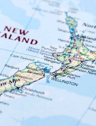
For the last 10 years, Reach Aotearoa has been working with ArcGIS, and we can now provide full GIS solutions for many health planning problems. In "geocoding", an address is turned into a map coordinate and can be plotted on maps of census data, NZDep scores, bus routes, distances from health facilities - and much more. By using the built-in programming language, we can work out distances to facilities and score blocks of addresses for access to services.
A typical application might be a PHO wanting to identify an underserved population subset, for example, patients with diabetes. The addresses of patients are supplied to Reach Aotearoa, along with the addresses of practices. We can construct a "contour map" of distance from the provider, identify patients outside the contours, and suggest the ideal location for a mobile clinic.
Reach Aotearoa maintains a database of over 300 census variables, and 300 topographical features for all of New Zealand. Is leukemia more common around power lines? What effect does household income have on asthma rates? (adjusted for ecological need level by NZDep)
There are some quite amazing things possible with GIS. We are happy to discuss any project, no matter how big or small.